 |
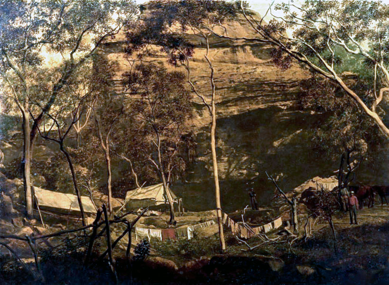
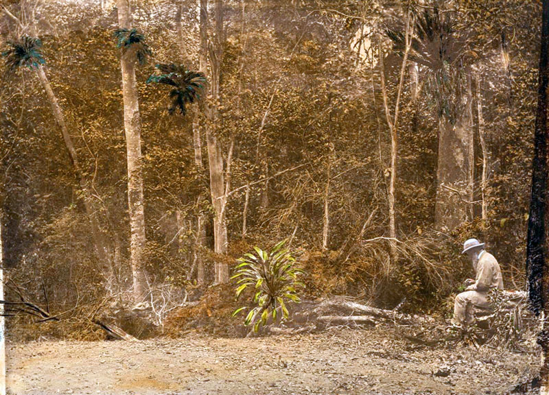
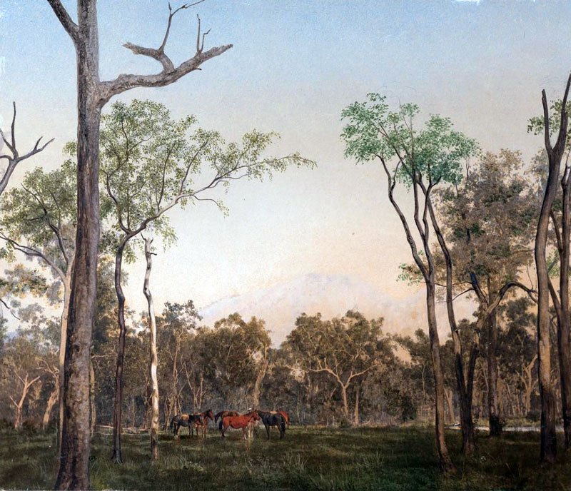
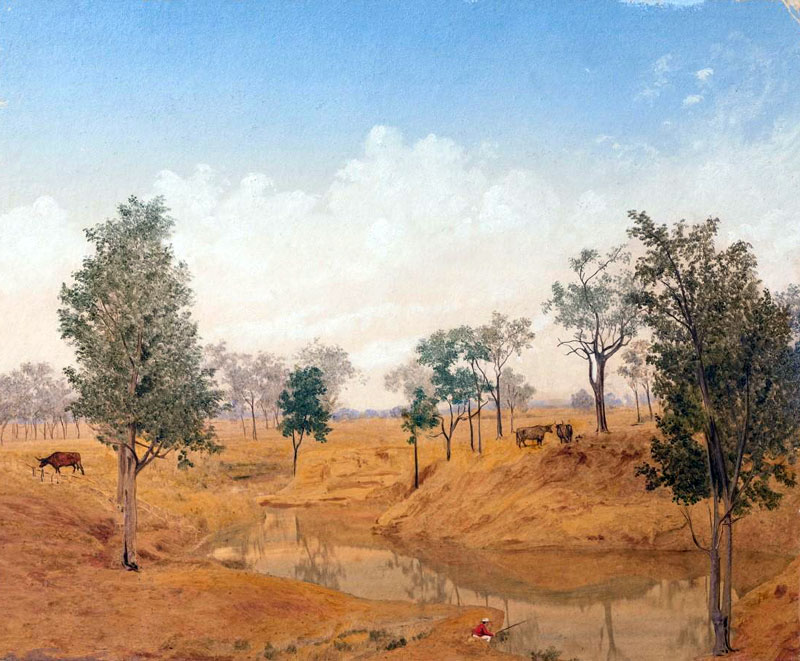
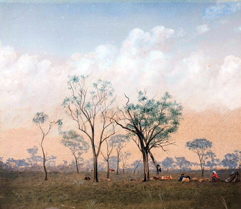
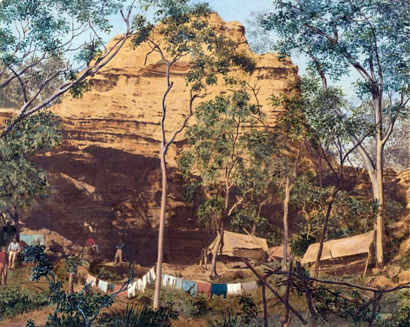
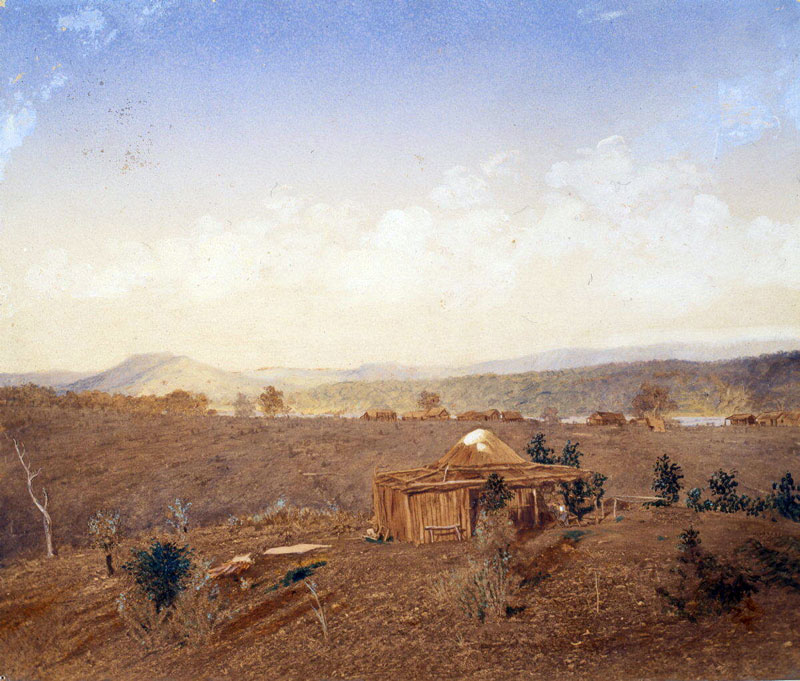
| #QM-001: Bush Campsite Daintree |
| |
 |
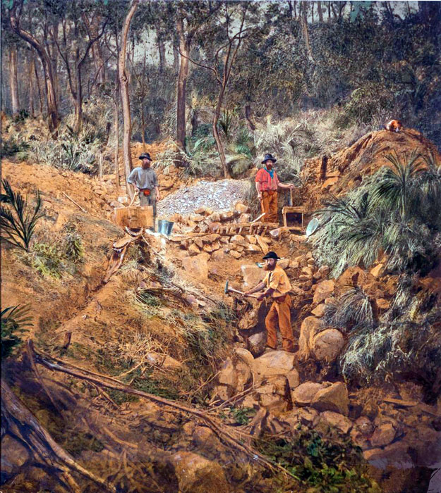
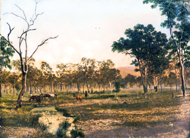
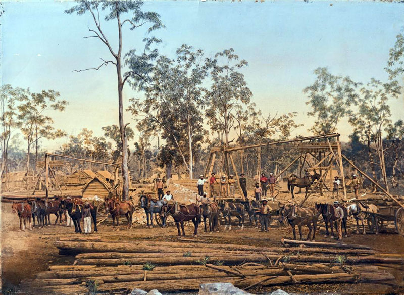
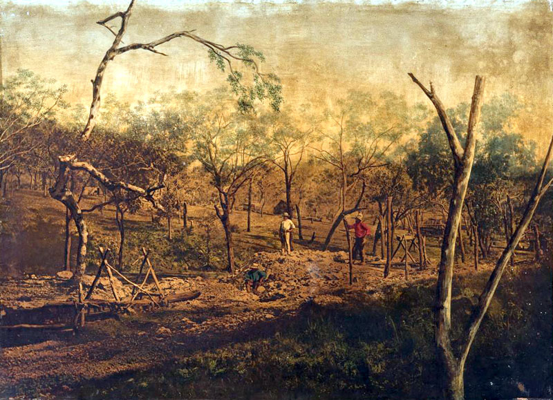
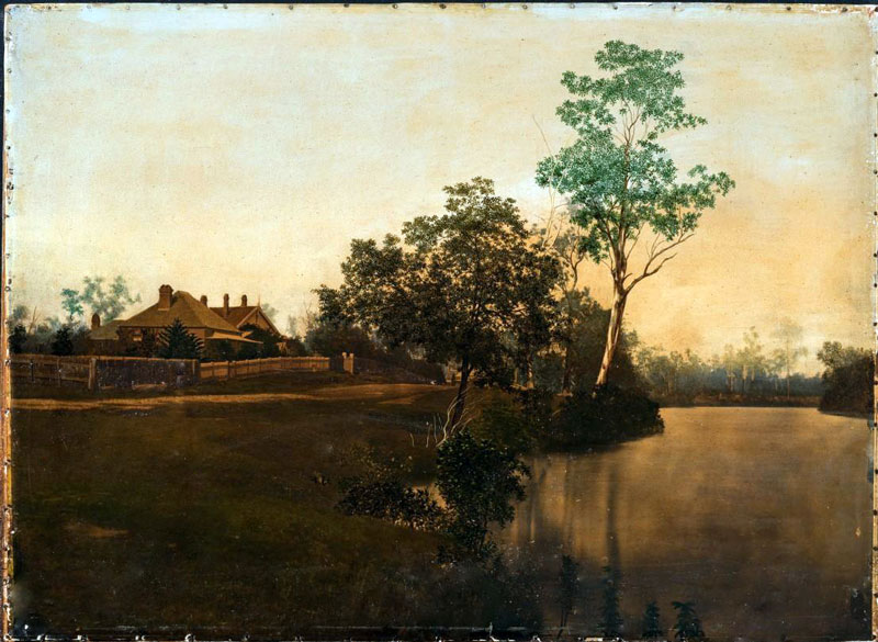
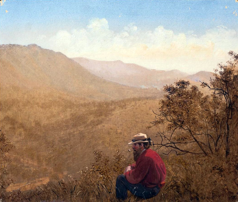
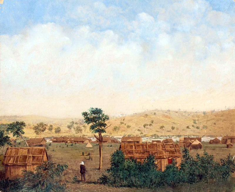
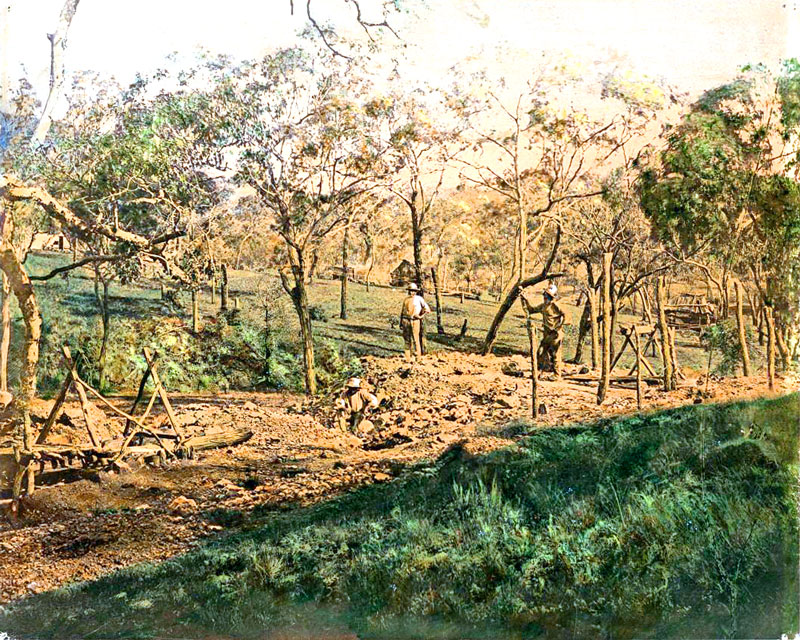
| #QM-002: Morning Going to Work |
| |
 |
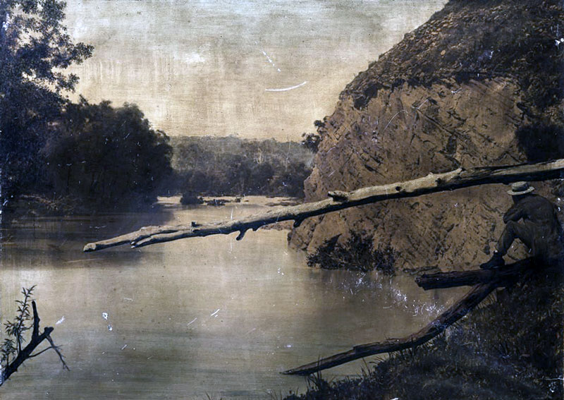
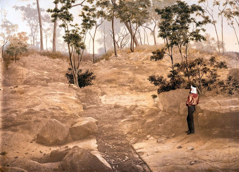
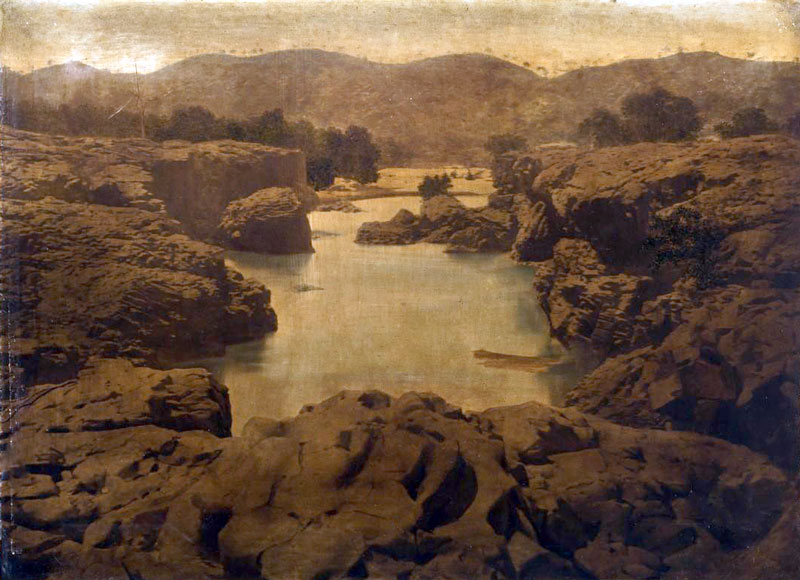
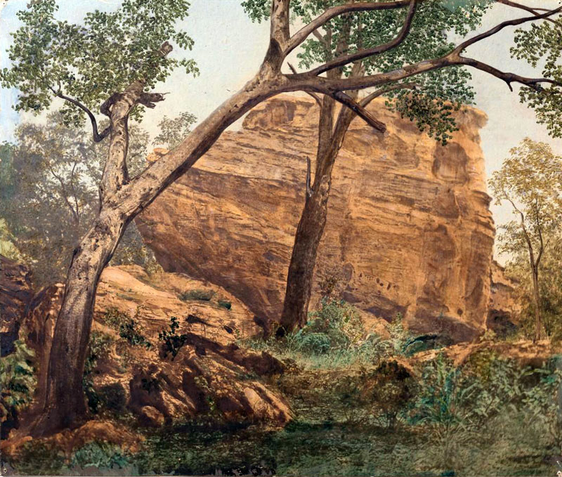
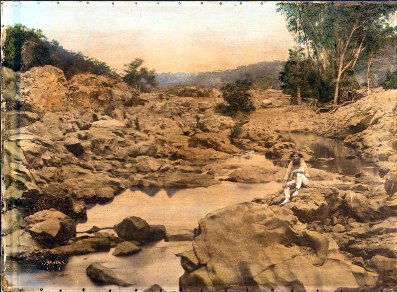
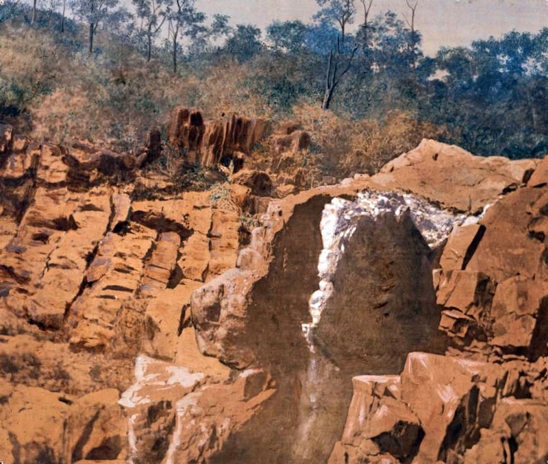
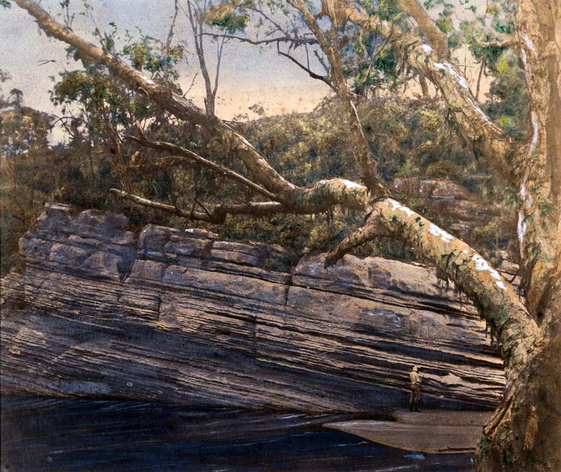
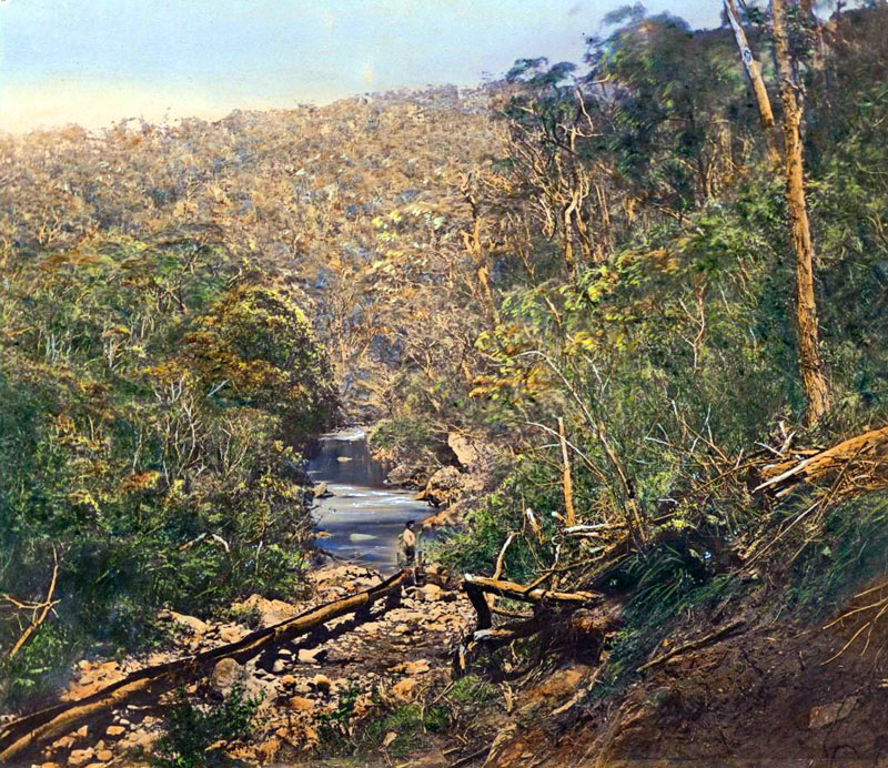
| #QM-004: Creek cutting through marble, Diggers Creek Kennedy District |
| |
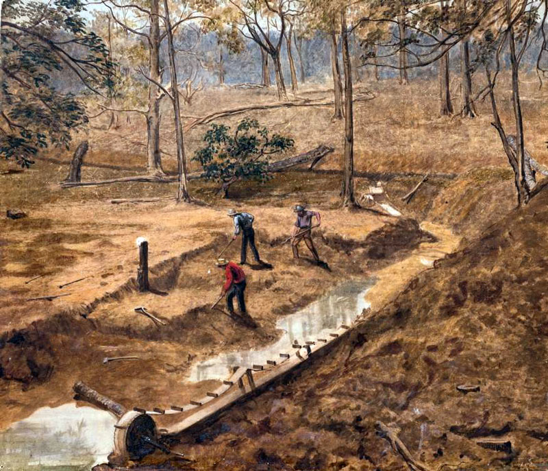
 |
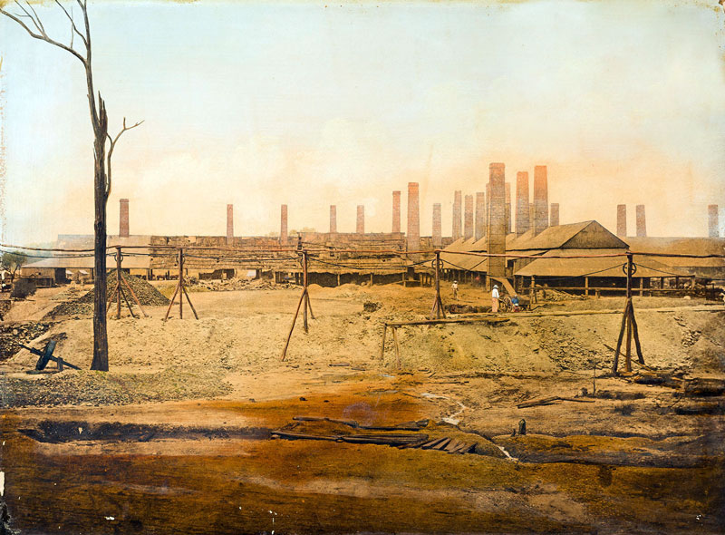
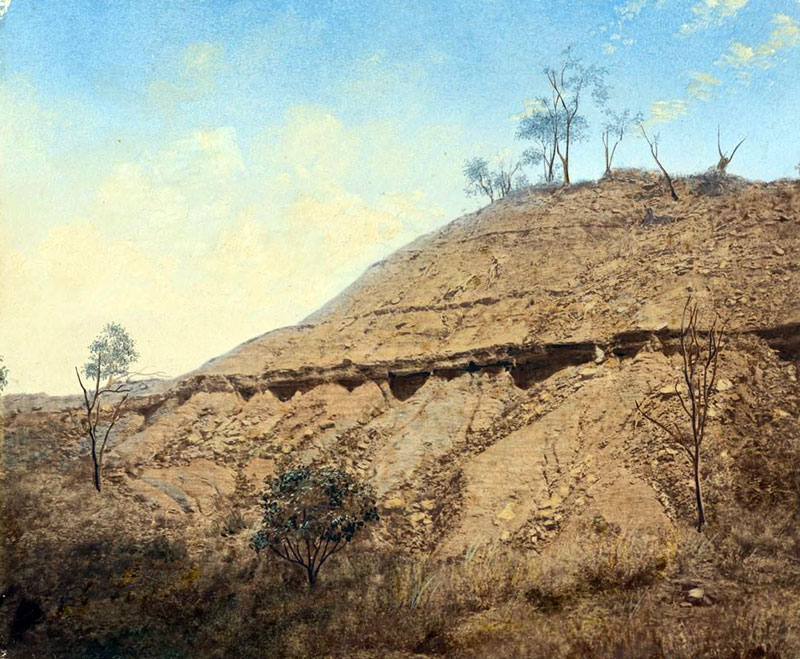
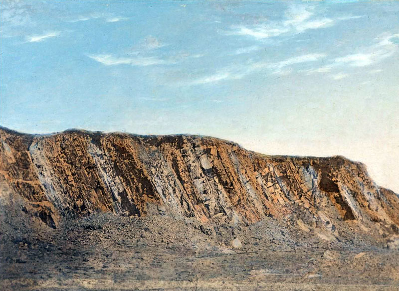
| #QM-005: Section Coal Measures |
| |
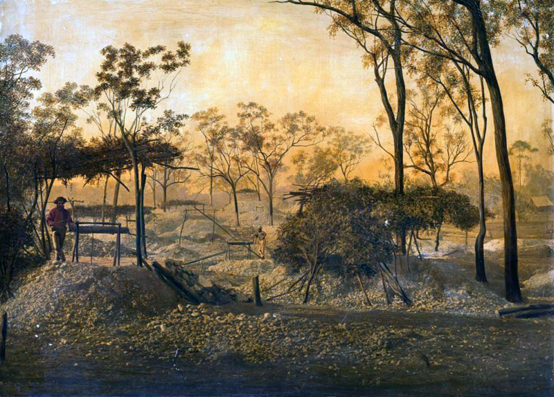 |
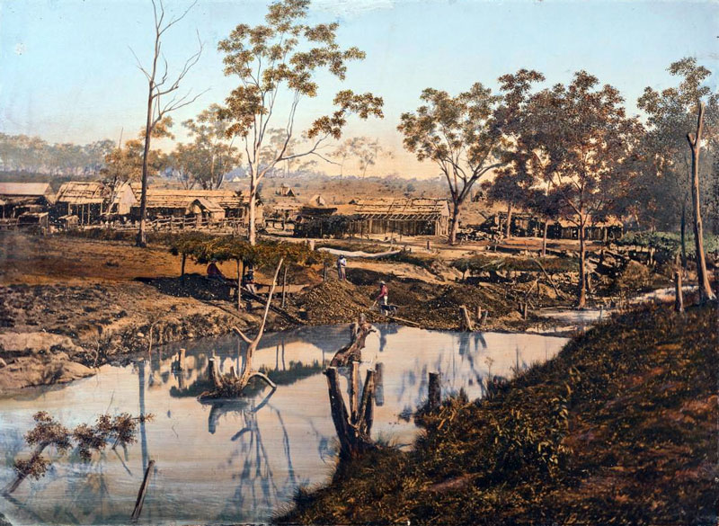
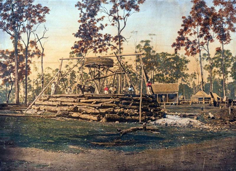
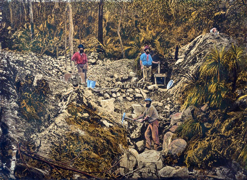
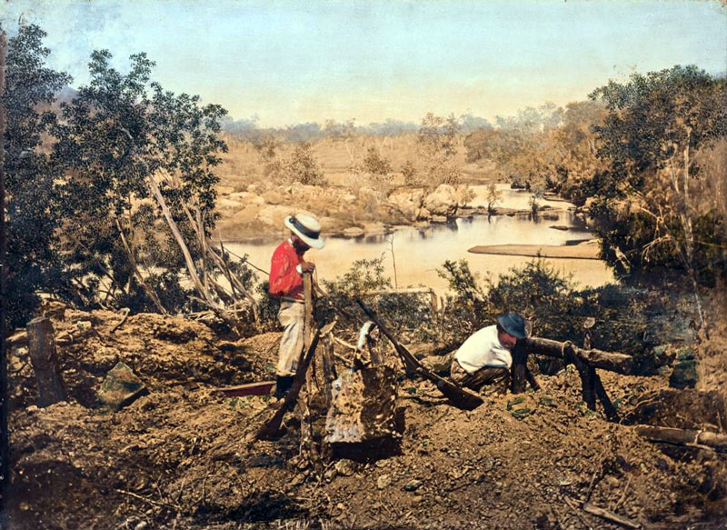
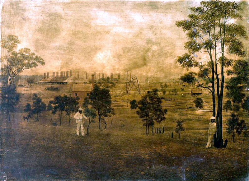
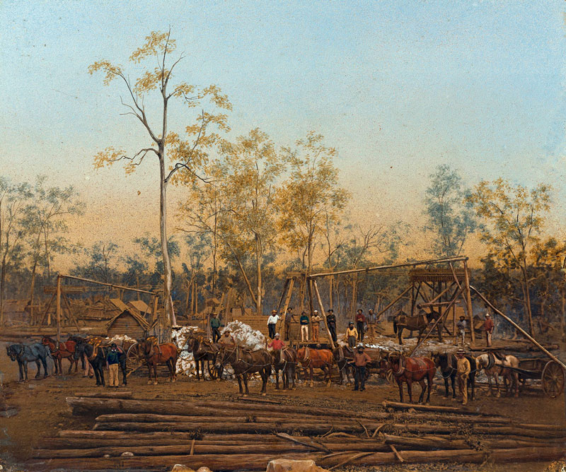
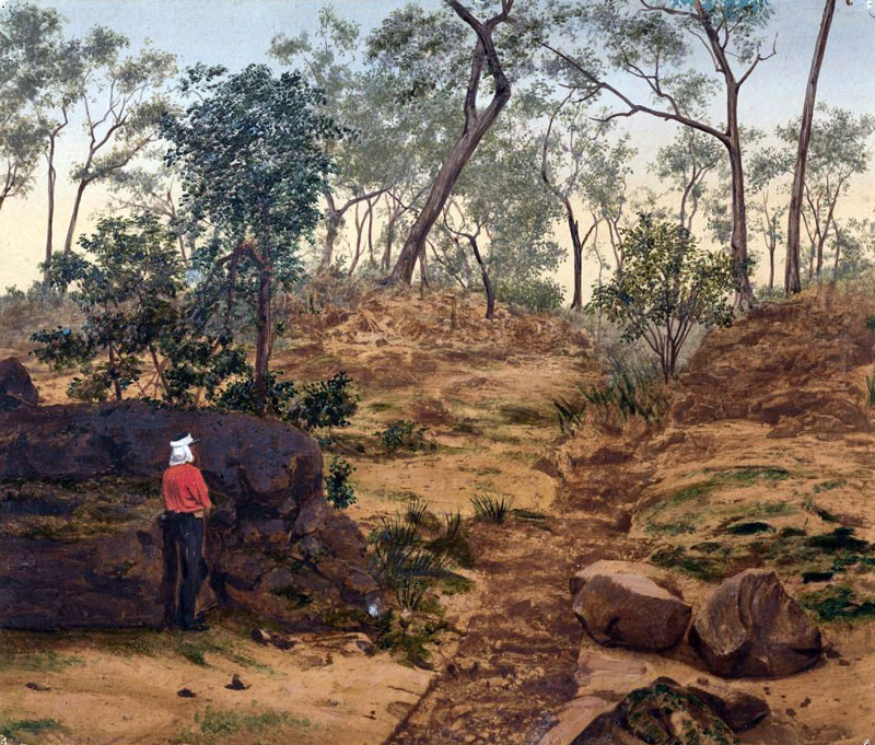
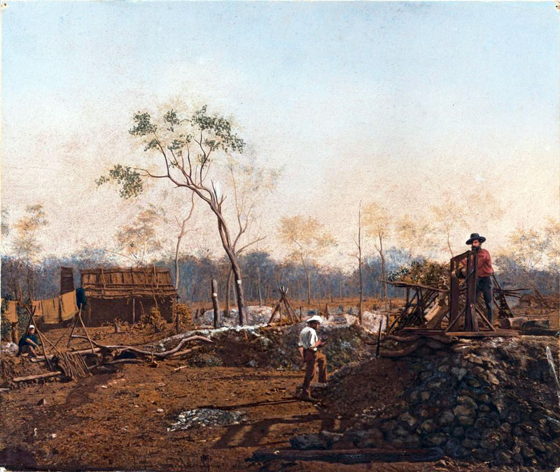
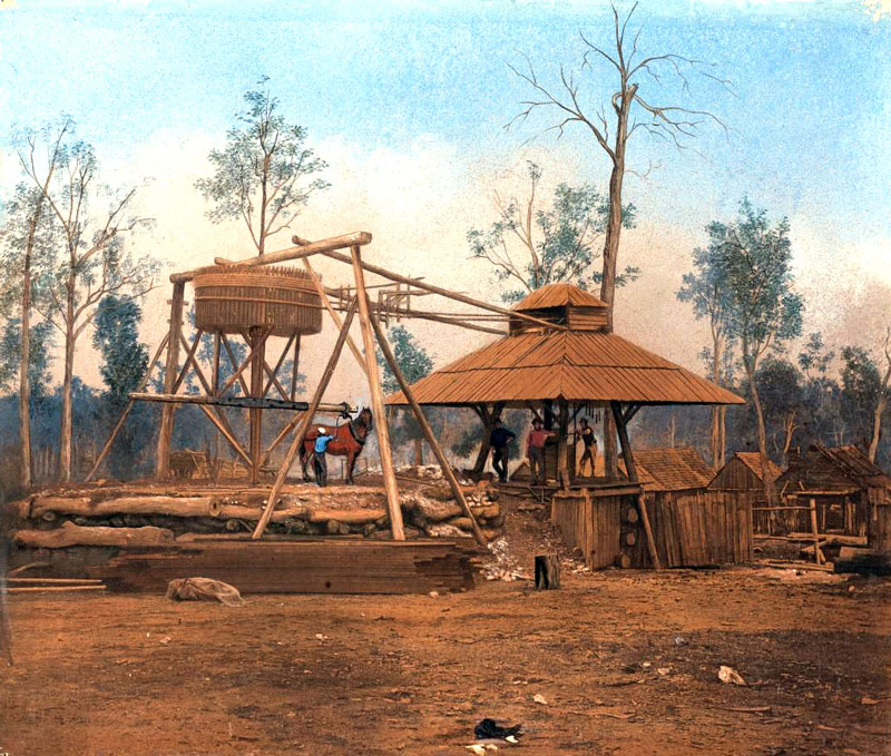
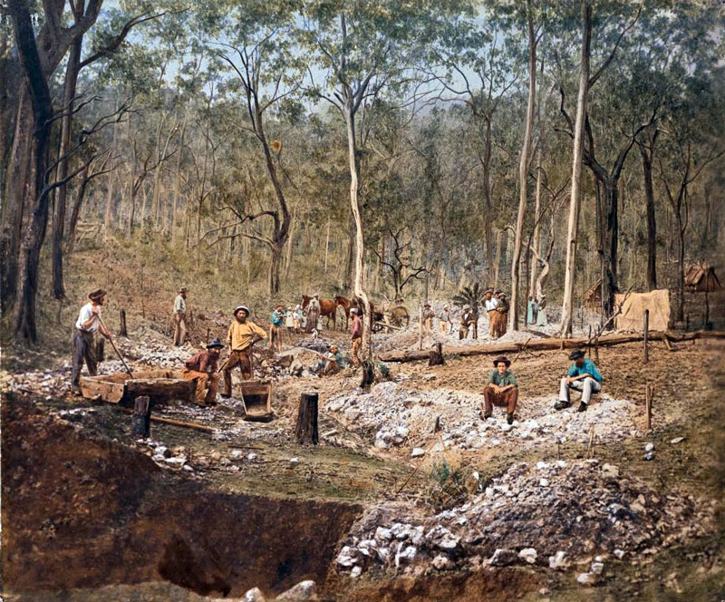
| #QM-006: Mining scene |
| |
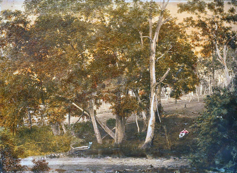 |
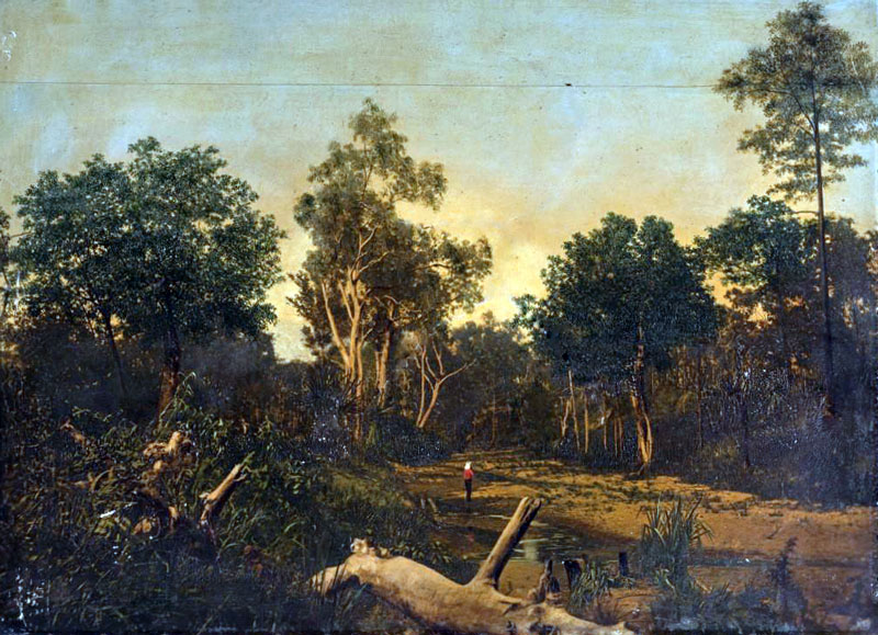
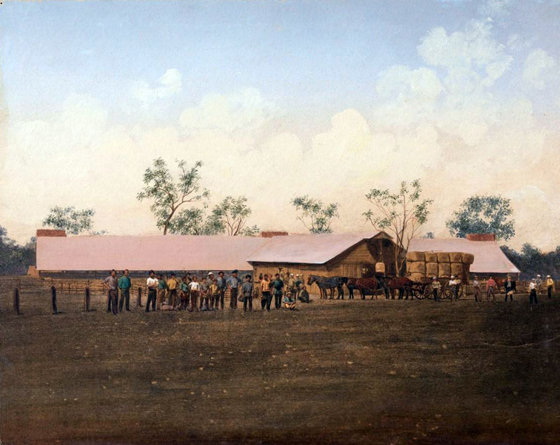
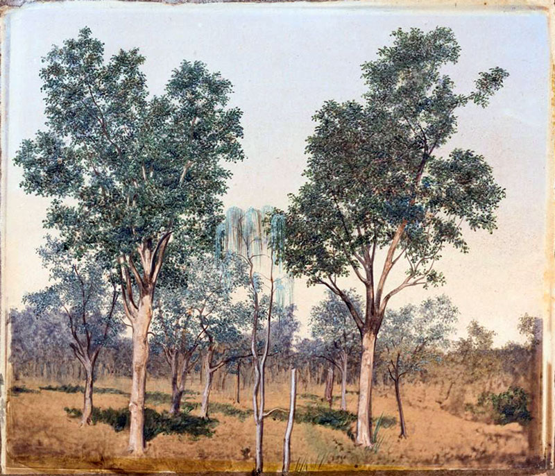
| #QM-007: Scene near Brisbane |
| |
 |
| #QM-008: Tin mining sluicing Stanthorpe |
| |
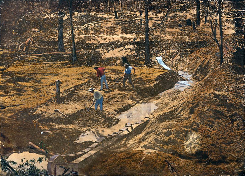 |
| #QM-009: Alluvial gold mining creek sluicing |
| |
 |
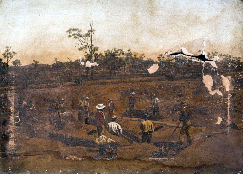
| #QM-010: Quartz mining Gympie |
| |
 |
| #QM-011: Mining scene |
| |
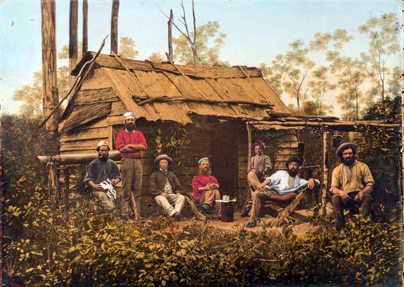 |
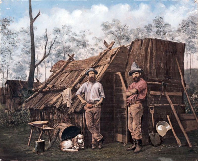
| #QM-012: Miner's bush hut Sunday afternoon; miners relaxing in front of slab and bark hut |
| |
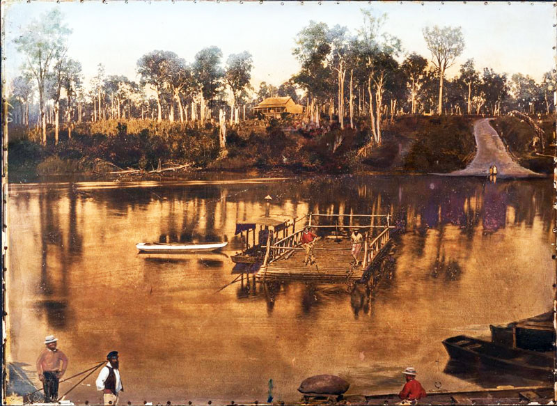 |
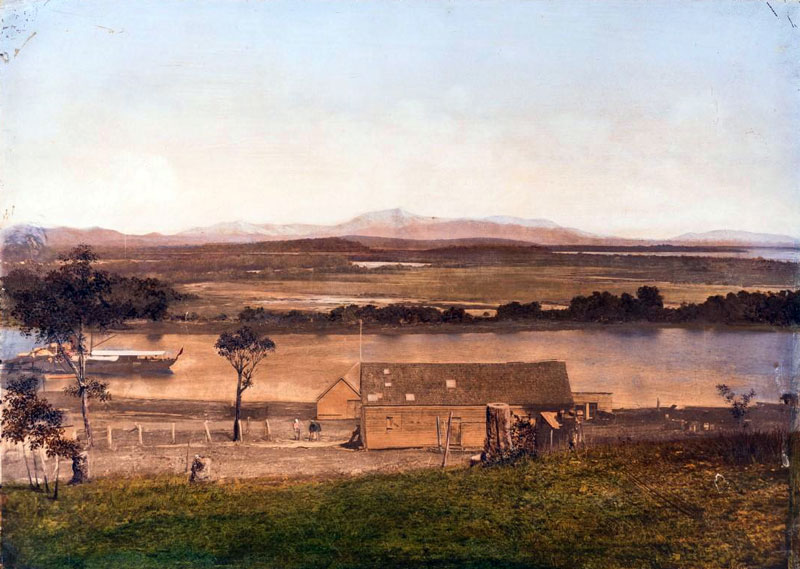
| # QM-014: Mary River ferry, Maryborough |
| |
 |
| #QM-015: Peak Down copper mine |
| |
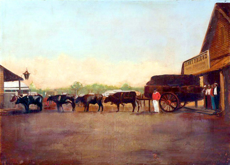 |
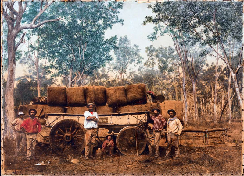
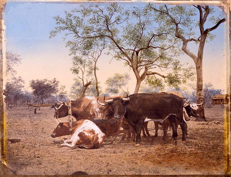
| #QM-016: Bullock teams delivering wool |
| |
 |
| #QM 017: Gympie diggings carboniferous quartz mining |
| |
 |
| #QM 018: Gympie quartz mining |
| |
 |
| #QM 019: Alluvial gold mining sluicing |
| |
 |
| #QM 020: Scott and Rogers Peak Peak Range |
| |
 |
| #QM-021: McGregor copper mine |
| |
 |
| #QM-022: Laundy Creek granite district |
| |
 |
| #QM 023: Prairie country western Queensland |
| |
 |
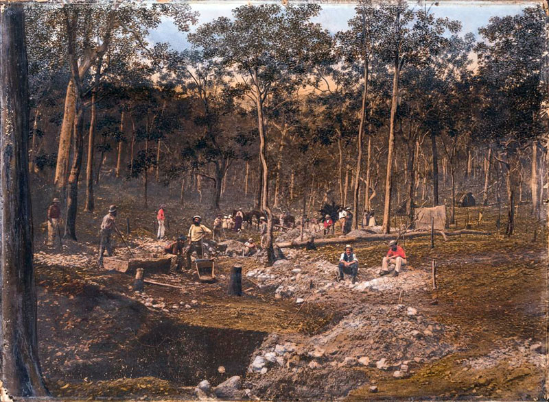
| #QM 024: Ravine mining or gully raking near Rockhampton |
| |
 |
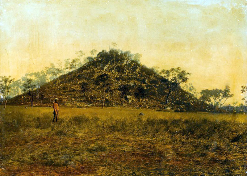
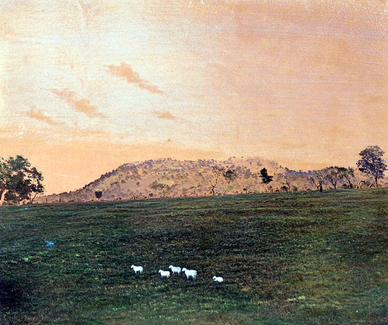
| #QM 026: Mt. Larcombe |
| |
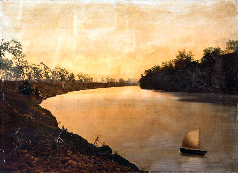 |
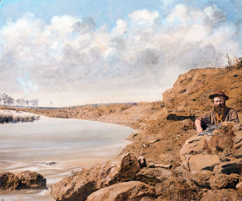
| #QM 027: view of Mary River |
| |
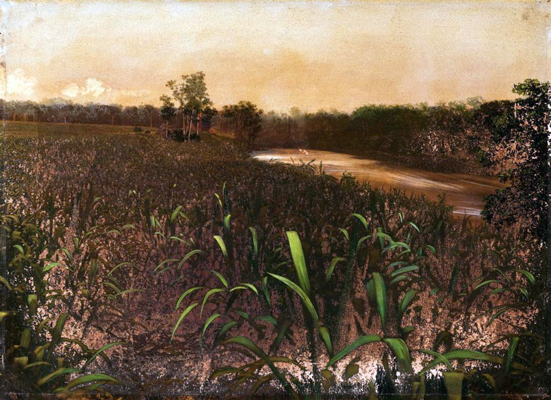 |
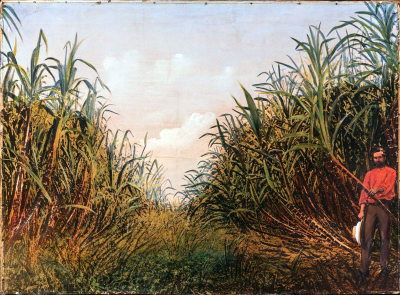
| #QM 028: Sugar plantation Mary River |
| |
 |
| #QM 029: Lynd copper mine Copperfield River |
| |
 |
| #QM 030: Volcanic country view from Lolworth Station, north Kennedy District |
| |
 |
| #QM 031: Grant Creek Gilbert district |
| |
 |
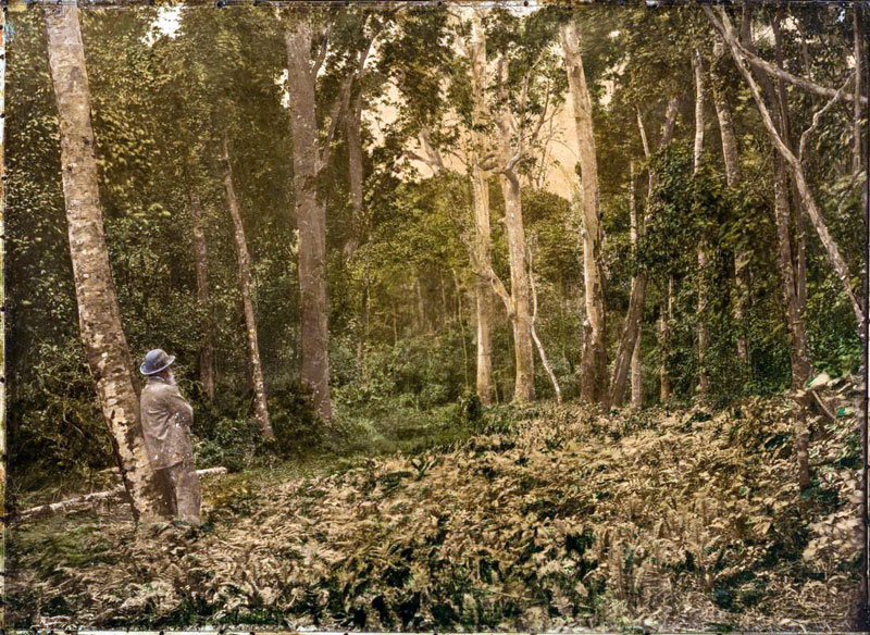
| #QM 032: Scrub with ferns |
| |
 |
| #QM 033: Forest country |
| |
 |
| #QM 034: Peak Downs copper mine |
| |
 |
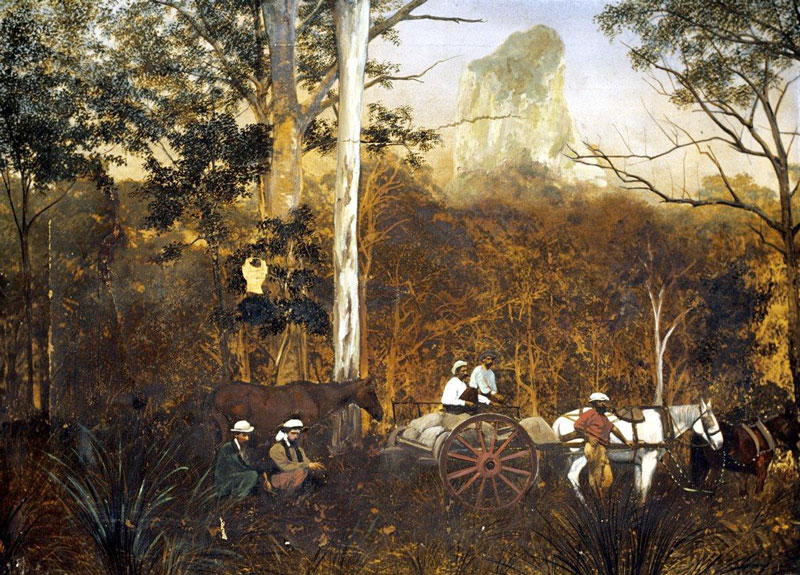
| #QM 035: Wolfgang Peak, Peak Downs |
| |
 |
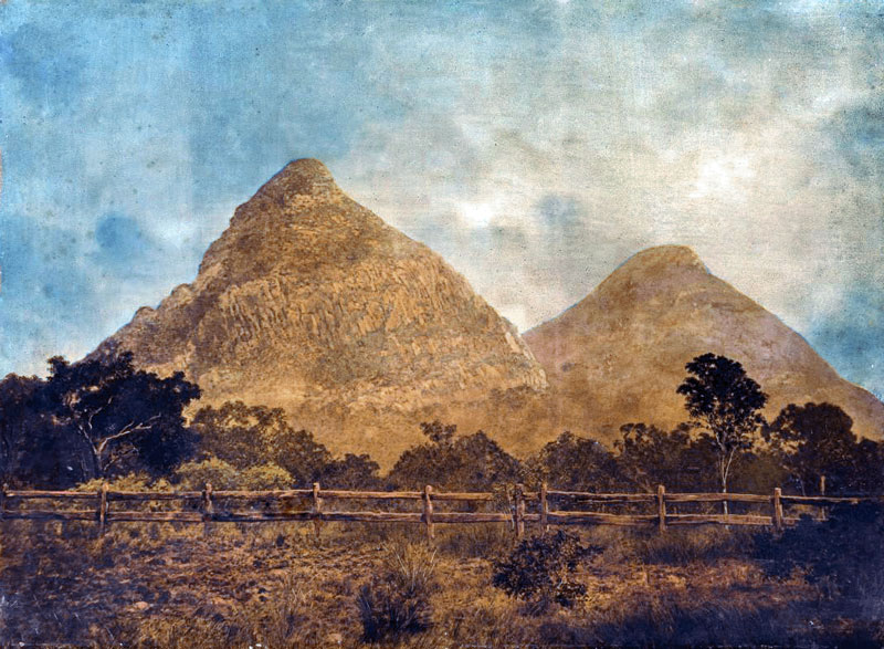
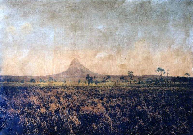
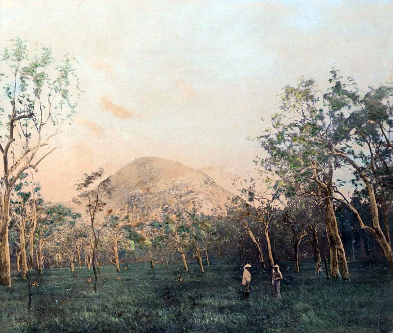
| #QM 036: Mount Coonowrin, Glasshouse Mountains |
| |
 |
| #QM 037: Breakfast Creek near Brisbane |
| |
 |
| #QM 038: Volcanic rocks Alligators Pool, Copperfield River |
| |
 |
| #QM 039: Quartz claim Gympie |
| |
 |
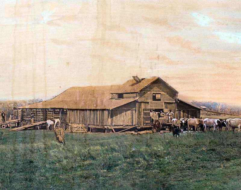
| #QM 040: Woolshed |
| |
 |
| #QM 041: Cave Creek, Gilbert-District |
| |
 |
| #QM 042: View from the top of Black Mountain |
| |
 |
| #QM 043: Basalt Dyke |
| |
 |
| #QM 044: Forest Landscape |
| |
 |
| #QM 045: Mount Wheeler |
| |
 |
| #QM 046: Structure of Diorite bed of Gilbert River |
| |
 |
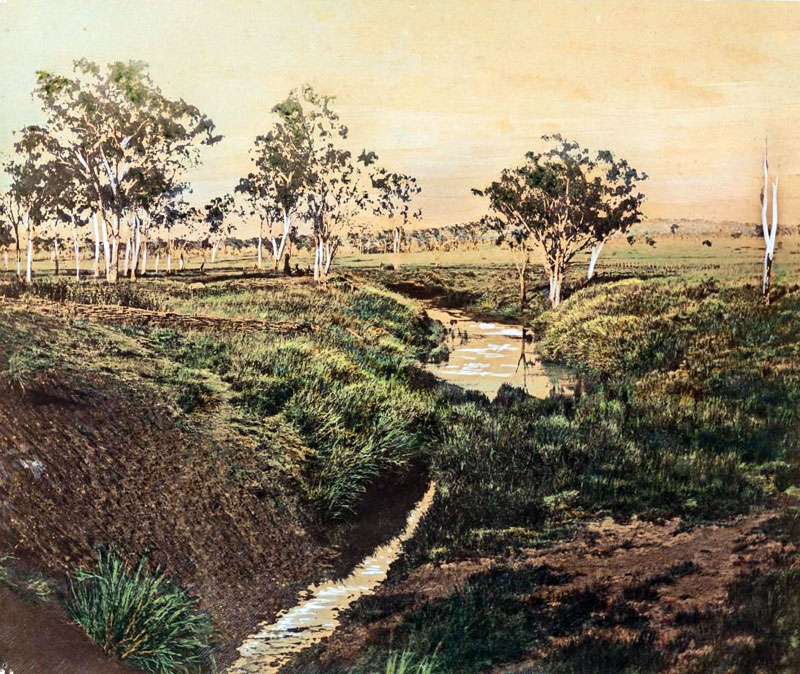
| #QM 047: View on Maryvale Creek |
| |
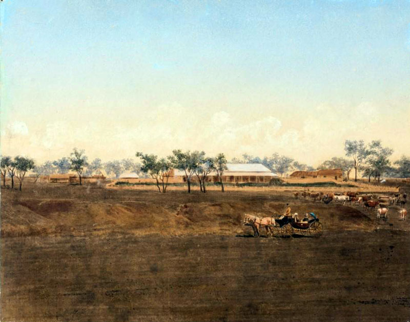 |
| #QM 049: Homestead with carriage |
| |
 |
| #QM 050: Maryvale Creek |
| |
 |
| #QM 051: Township of Gilberton from Gold Commissioners residence |
| |
 |
| # QM 052: Cretaceous strata on Flinders River |
| |
 |
| #QM 053: Junction of Gilbert and Robertson Rivers, North Queensland |
| |
 |
| #QM 054: Corporation Quarry, Rockhampton |
| |
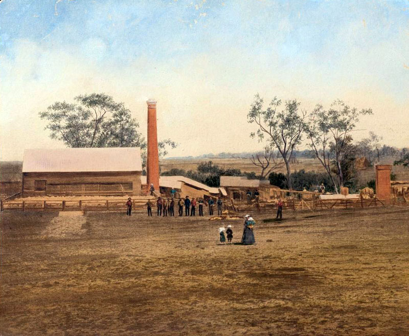 |
| #QM 055: Boiling down plant for tallow, Maryvale Creek, Clarke River |
| |
 |
| #QM 056: Coal seam on Pelican Creek |
| |
 |
| #QM 057: View Maryvale Creek |
| |
 |
| #QM 058: Sugar plantation, Mackay |
| |
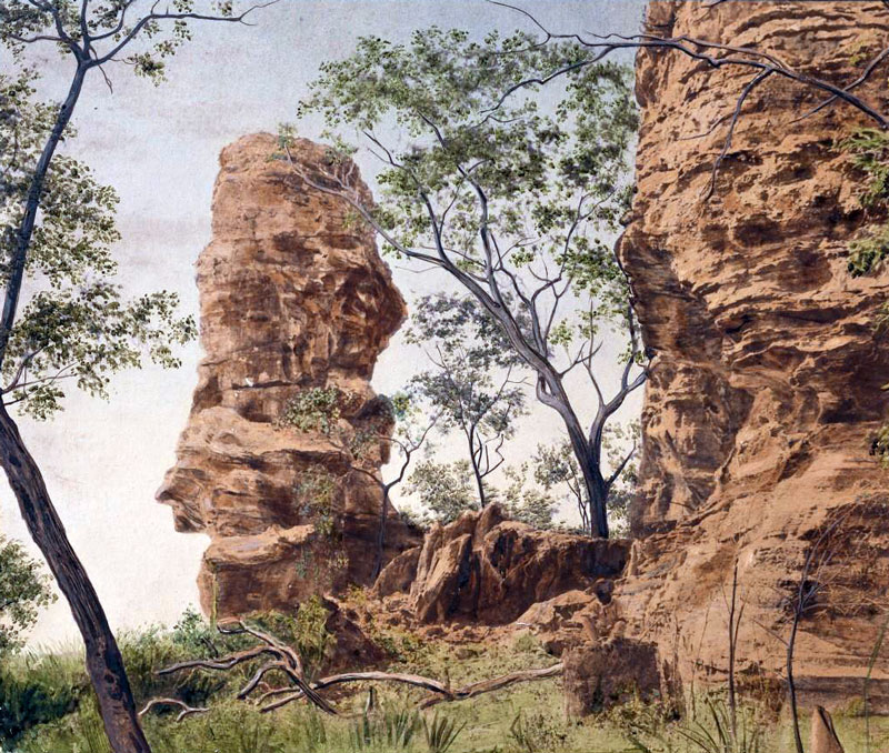 |
| #QM 059: Sandstone pillars, Cave Creek, Gilbert District |
| |
,-exposed-in-stream-bed.jpg) |
| #QM 060: Weathered intrusive rock (diorite), exposed in stream bed |
| |
 |
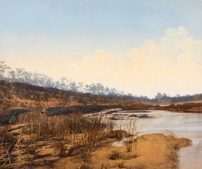
| #QM 061: Betts Creek |
| |
 |
| #QM 062: Near Basalt River, North Queensland |
| |
 |
| #QM 063: Tableland camp |
| |
 |
| #QM 064: Volcanic country |
| |
 |
| #QM 066: Colonial wool wagon |
| |
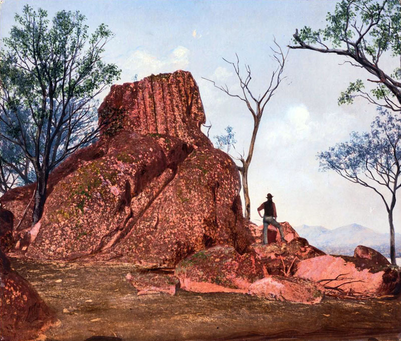 |
| #QM 067: Fluted granite |
| |
 |
| #QM 068: Overlander Reef, Ravenswood, North Queensland |
| |
 |
| #QM 069: Shearing shed on th Darling Downs |
| |
 |
| #QM 070: Locality of Queensland limestone, marble and slates |
| |
 |
| #QM 071: Quartz claim, Gympie |
| |
 |
| #QM 072: Gold mining, near Rockhampton |
| |
 |
| #QM 074: Cave in desert sandstone |
| |
 |
| #QM 075: Creek sluicing |
| |
|
| #QM 076: Men at work, gully raking |
| |
 |
| # QM 077: Bush country in granite tracts |
| |
 |
| #QM 078: Alluvial creek working Californian pump |
| |
 |
| #QM 079: McKenzies copper mines |
| |
|
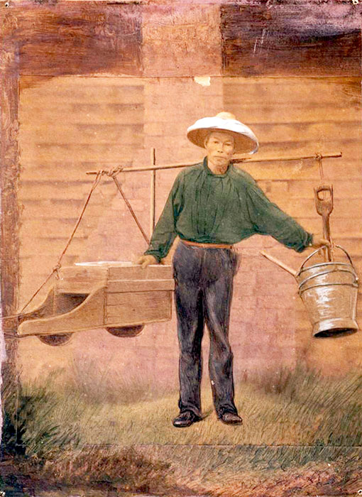
| # QM 080: Chinese miner starting for work |
| |
 |
| #QM 081: Early settlement, Mount Nation, North Queensland |
| |
|
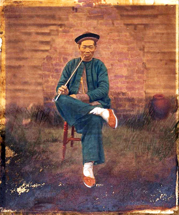
| #QM 082 Chinese digger taking it easy |
| |
 |
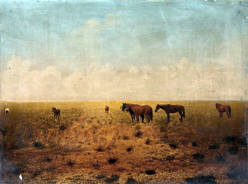
| #QM 083: Bullocks turned out |